

Montlaur
51,5km
1000m
3h30 4h00
Spring & Summer
3/5*
Physical & technical
A fifty-kilometer journey that will introduce you to the magnificent landscapes of Aveyron. This itinerary will take you on a journey through time as you discover the Abbey of Sylvanés, founded in 1136, and also the 10th-century Montaigut Castle. A wonderful ride to plan if you are in the region!
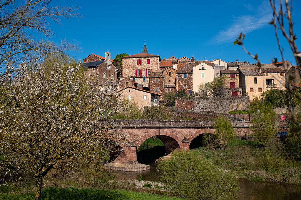
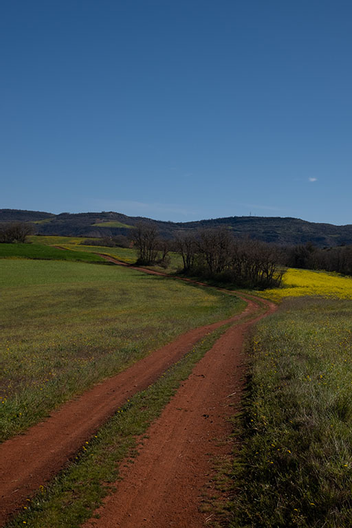
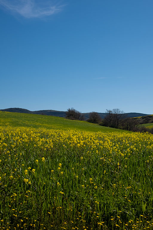
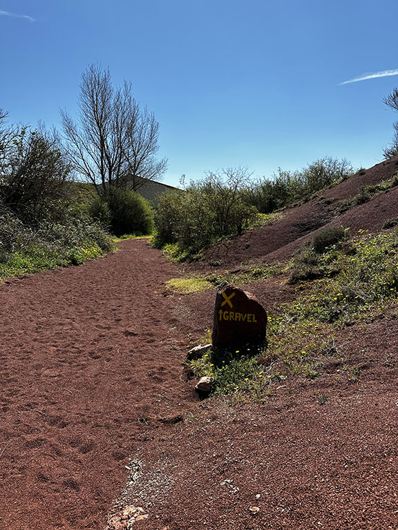
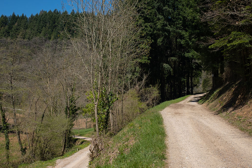
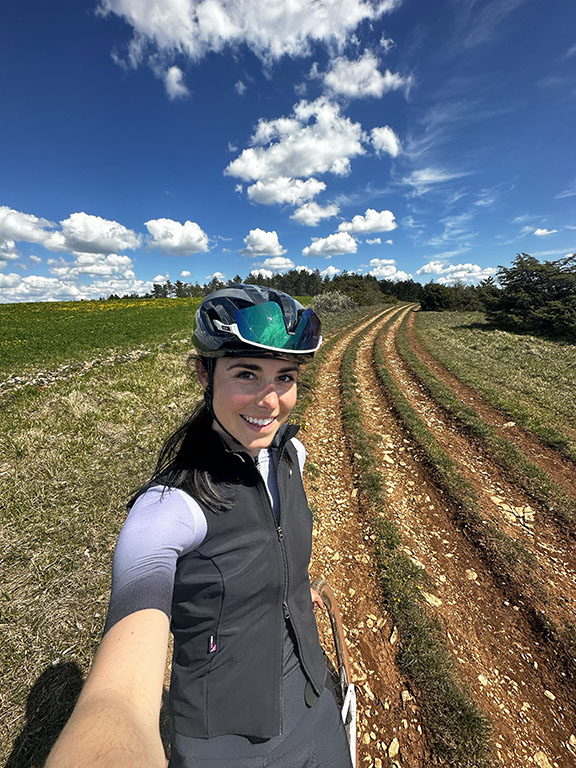
This itinerary starts in the heart of Rougier de Camarès, from the village of Montlaur. The first gravel paths are just outside the village. After crossing the bridge, you turn onto a gravel path. As you venture deeper into these red lands, you will pass a farmhouse on your right. There are a few uphill sections to overcome, but nothing too challenging or technical.
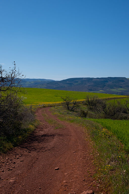
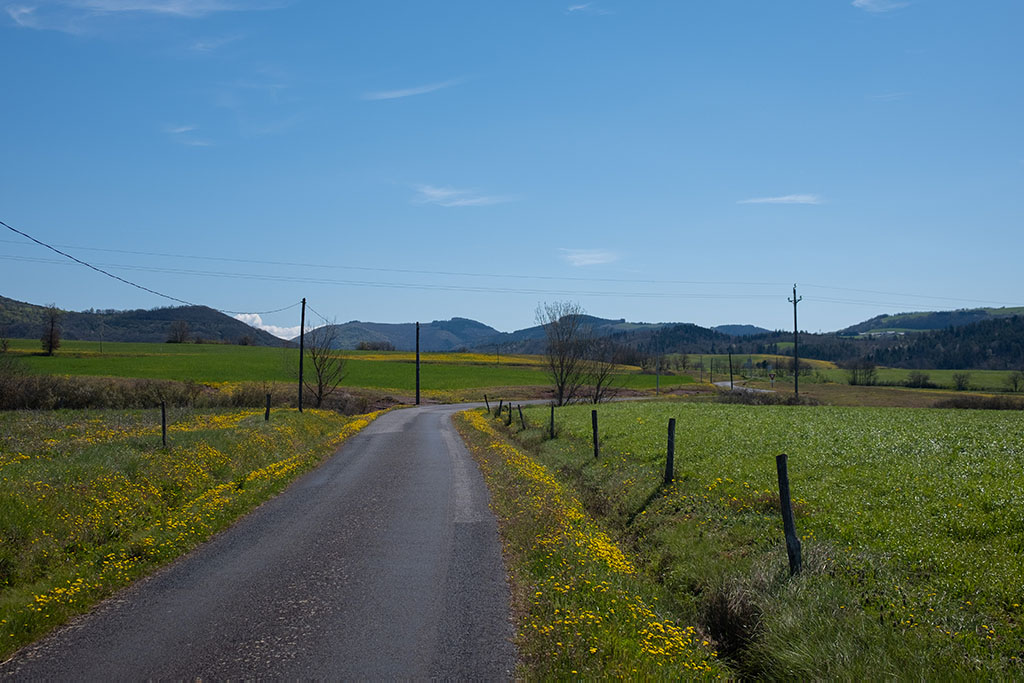
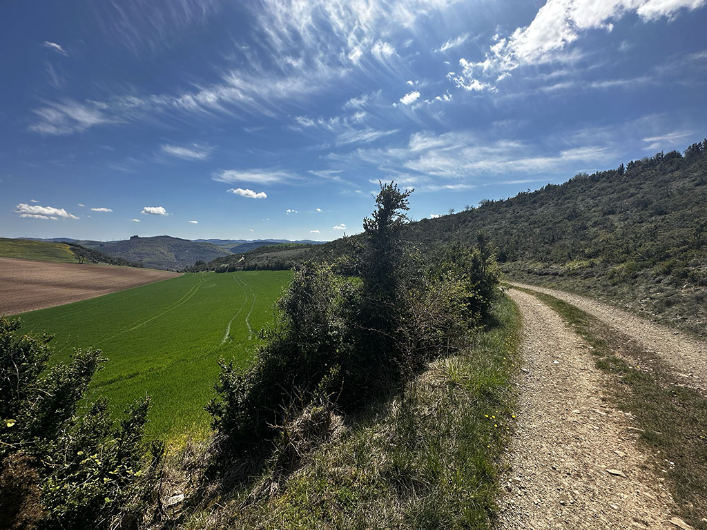
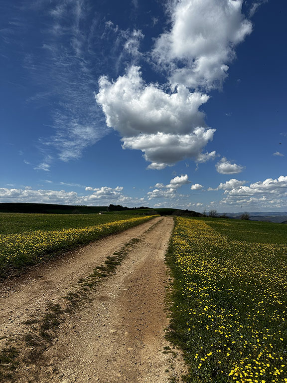
After crossing these beautiful paths, you will have a stretch of country road to ride. There isn’t much traffic, so you can enjoy this section of road in peace and tranquility.
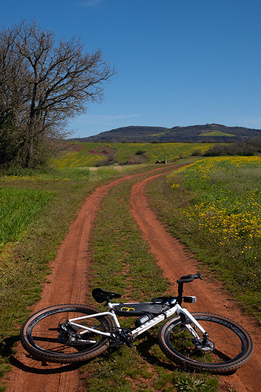
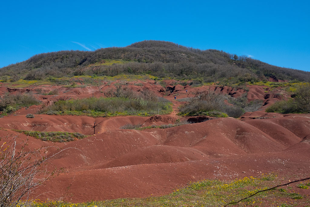
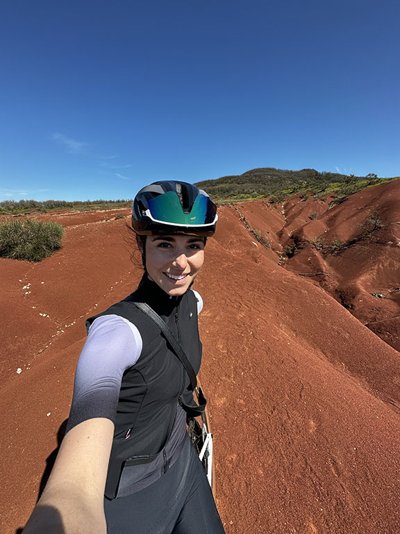
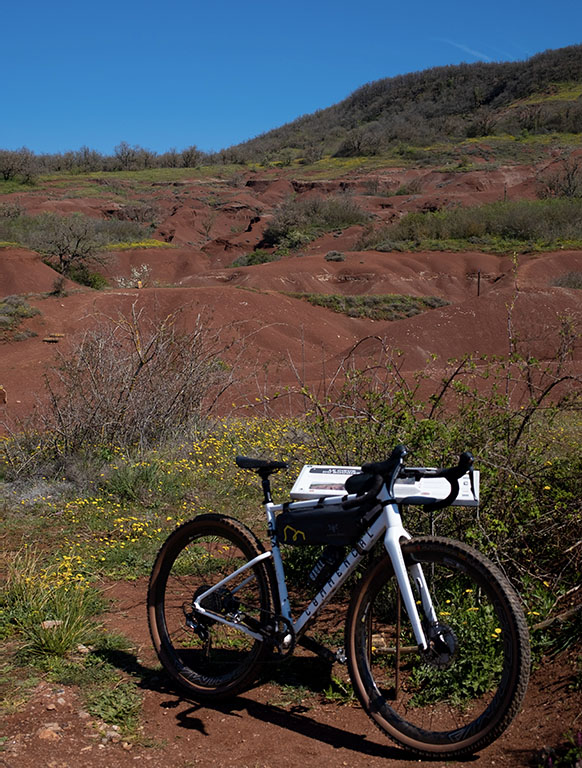
The itinerary guides you to the Montagnettes, small hills of red sand. You will cross them for a few meters before descending to continue the route. (You are allowed to ride where the itinerary leads you).
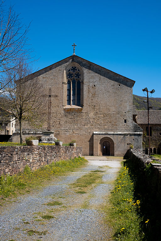
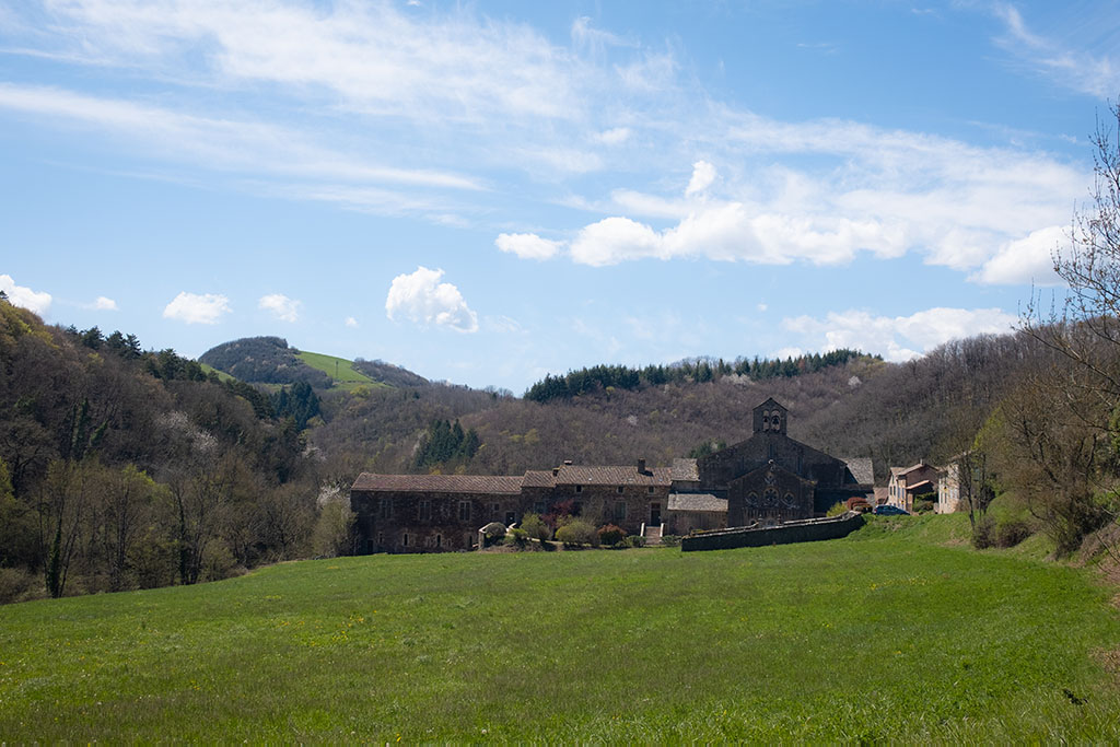
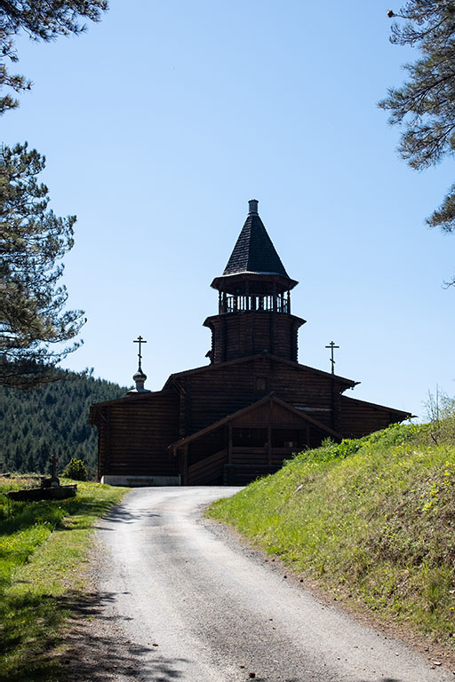
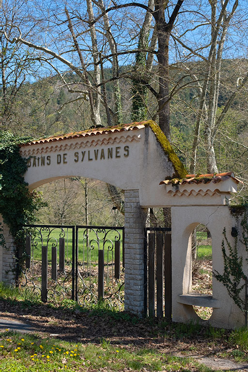
The rest of the route takes you through a mix of trails and country roads. First, you will pass through Sylvanès, where you can admire its Cistercian Abbey built in 1136 and even get some food at the Sylvanès Bar Restaurant. Then, you will continue towards the Russian Orthodox Church. You will access it via a gravel path with some incline and switchbacks.
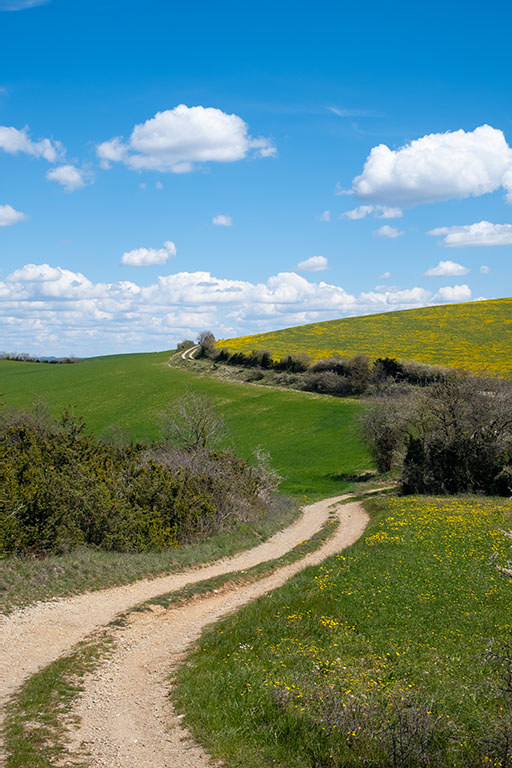
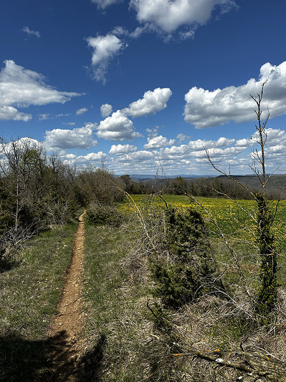
A slightly longer stretch of road awaits you before reaching other trails, particularly those that will take you to the plateau of La Loubière. You will have a magnificent panoramic view of the Sorgue Valley and the Avant-Causses.
Note: There is a small hill to climb in order to reach the plateau of La Loubière, so remember to keep your energy for the entire ascent!
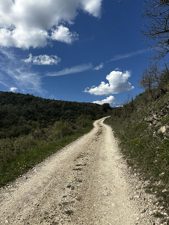
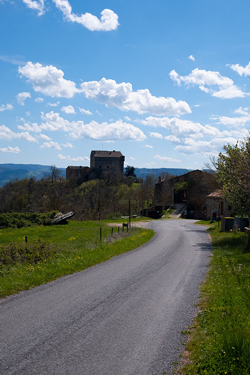
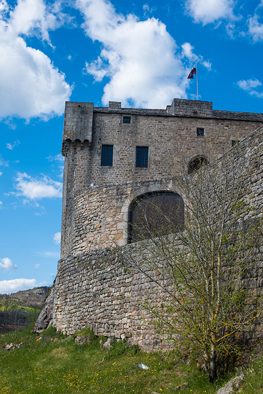
Just a few more efforts before reaching Montaigut Castle. You will encounter a fairly steep incline that may require pushing your bike for a few meters. After that, there is a slight incline before plunging into a single track. This section is very playful and different from all the wide paths you have taken so far. You will then reach Montaigut Castle before descending towards Montlaur via the road and finishing on some dirt trails. If fatigue becomes overwhelming, you can easily finish on the road to reach your car.
This itinerary is accessible to all levels; however, it does require a minimum level of fitness and some prior experience with rides lasting over 3 hours. In the summer, I recommend starting early as the sun can get quite hot, especially in the open sections.
Note: Make sure to bring enough water and food, as there are very few places where you can get a refuel along the way.
This route can also be done as a trail run or hiking, following a marked trail. It is the perfect nature semi-marathon to discover the Rougier region. Alternatively, you can adapt it to a shorter loop of about ten kilometers according to your preferences. The GPX file is available for download below.
Map & GPX
tested
RESTAURANTS
ACTIVITIES
Visit the "Most Beautiful Villages of France"
Stroll through the villages recognized as "Les Plus Beaux Villages de France" (The most beautiful villages of France) such as Peyre or La Couvertoirade. The village of Saint-Eulalie-de-Cernon is also very charming.
SPECIALTY DISHES
-
L'Aligot
-
Le Roquefort
-
Les Tripoux
-
La Soupe au Fromage
- Les Farçous
- L'Estofinado
SPECIALTY DESSERTS
- Le Gâteau à la Broche
-
La Fouace
-
La Flaune
- Les Échaudés