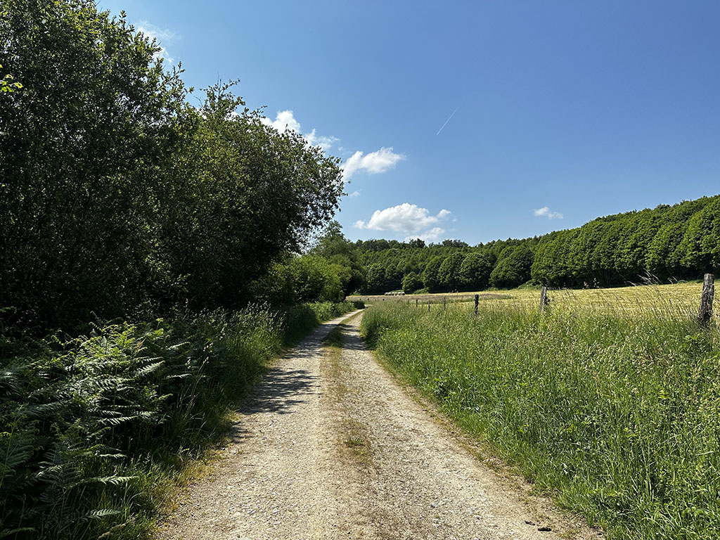
Châtelus-le-Marcheix
52km
1090m
3h30 4h00
spring & summer
3/5*
Physical & technical
From Châtelus-le-Marcheix, you embark on a quite demanding route, both physically and technically. This trail offers a wide variety of paths, ideal for more athletic gravel riders. With its 1090 meters of elevation gain over 52 kilometers, it will definitely challenge you.
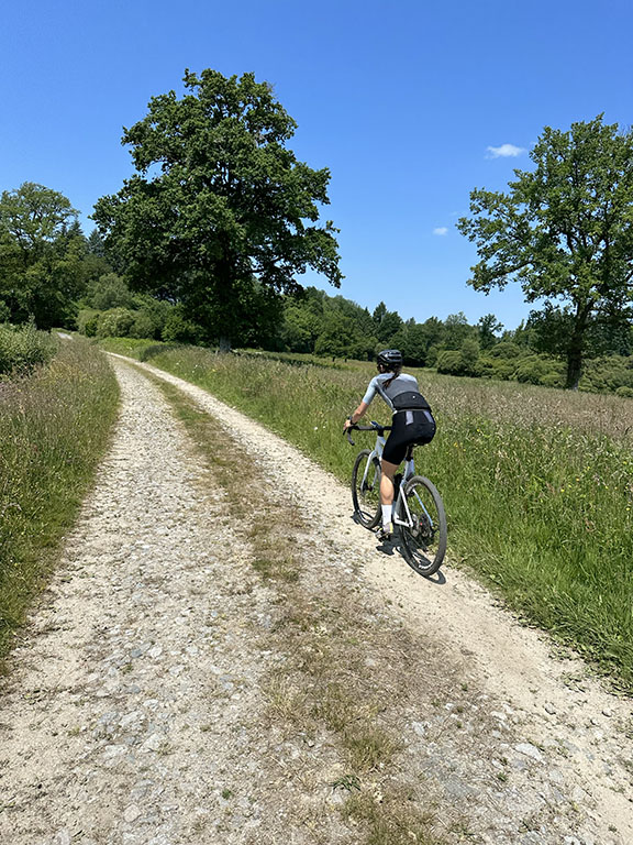
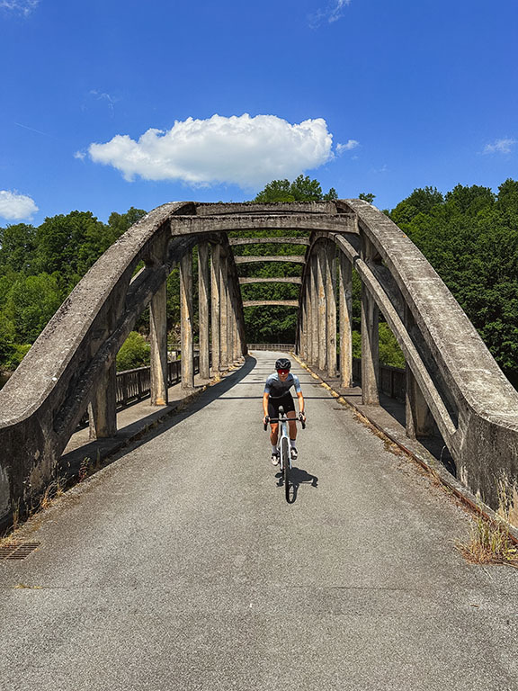
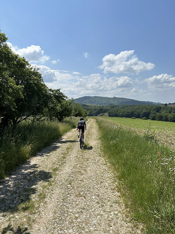
When you approach the Thaurion River, be attentive as this river is known to be home to many otters! Stay alert and you might have the chance to spot them. Take the opportunity to also admire the vast green landscapes and soak in the tranquil atmosphere of the Creuse countryside.
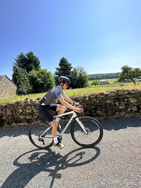
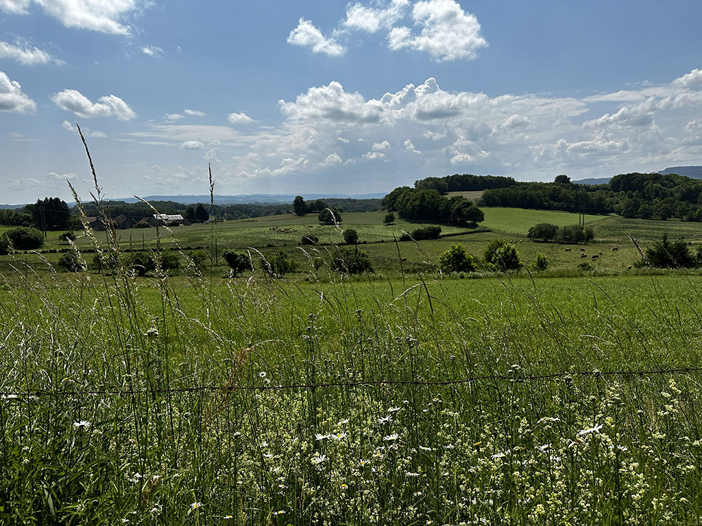
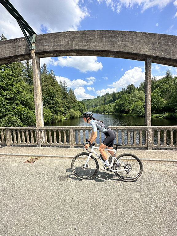
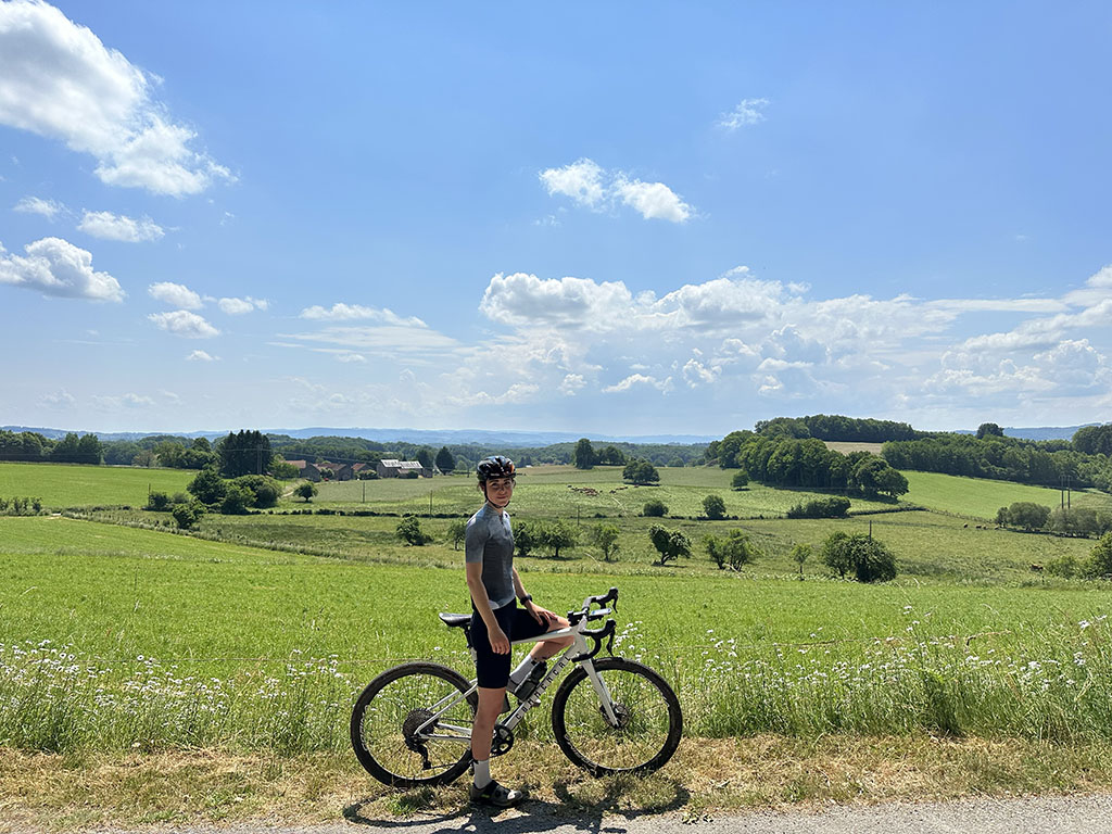
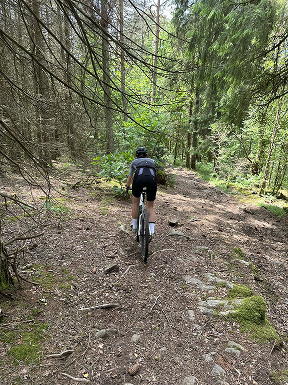
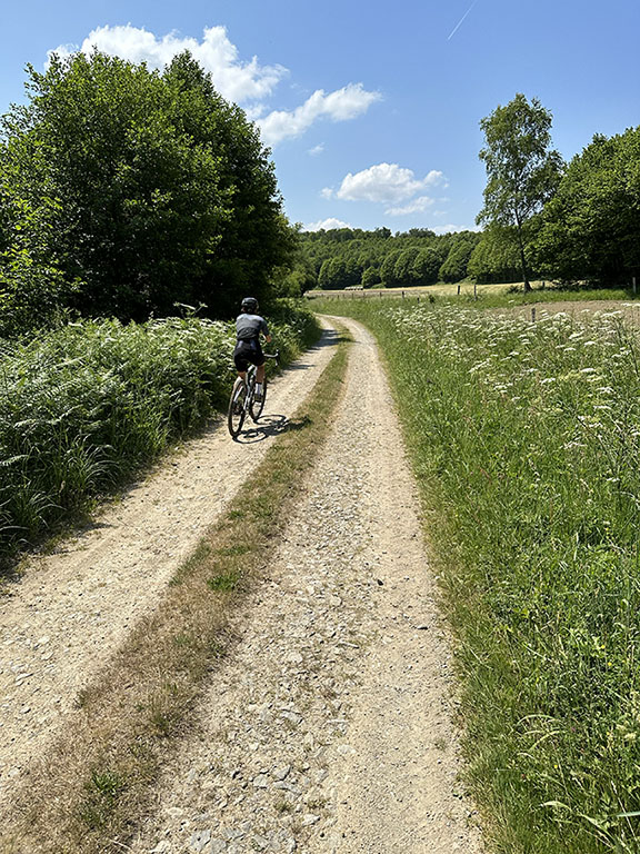
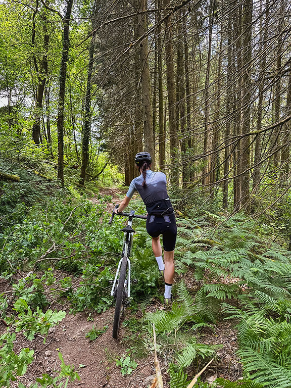
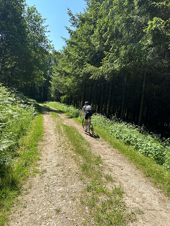
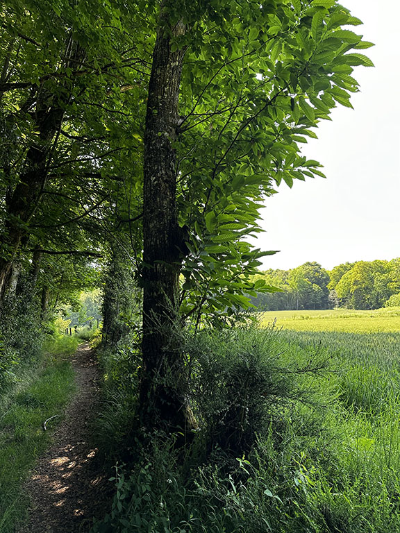
This route is overall very diverse and more technical than others. It is more suitable for a “sporty” gravel practice. It can also be done as a hike, but if you are a beginner, you may need to dismount at certain points. For experienced cyclists, it is truly a playground.
Note: Forest paths may have undergone changes after the passage of forestry workers. It is generally still possible to retrace your steps and detour onto a departmental road before finding the trails again. I recommend downloading an offline map of the area and the GPX track on your phone.
Also, make sure to bring enough water and food as small supermarkets and water sources are scarce along the route.
Useful aps : MAPS.ME (free offline version, make sure to download the department map when you have network coverage in advance), FATMAP (Paid offline version, highly detailed and information-rich 3D maps, free with network coverage), KOMOOT (Purchase maps of different regions for offline access).
Map & GPX/KML
tested
Best Addresses
(*tested)

